Syria
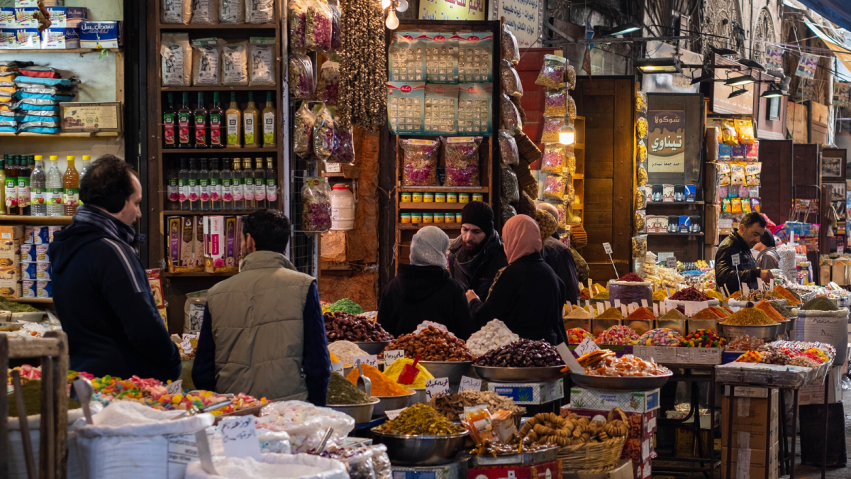
The Carter Center has engaged with senior Syrian officials since the 1990s. After the outbreak of civil war in 2011, the Center began working with a cross-section of Syrians to explore political solutions to the conflict, build consensus around constitutional and governance reforms, and evaluate the impact of international sanctions.
Given our long-term relationships with many stakeholders, the Center was able to bring factions together to develop visions for a political resolution. We continue to monitor, document, and analyze levels of violence throughout the country.
Short-term Goals
We are working to resolve long-standing conflicts, protect civilians from harm, and build toward a lasting peace.
Impact
- Helped reframe the political discussion of sanctions, acknowledging incremental change by the Syrian government toward the goal of full-scale, inclusive recovery
- Collected extensive and up-to-date data on the conflict that allowed stakeholders, including the international community, to have well-informed dialogues and strengthened relationships
Carter Center Calls for Robust Global Support Following U.S. Sanctions Lifting on Syria
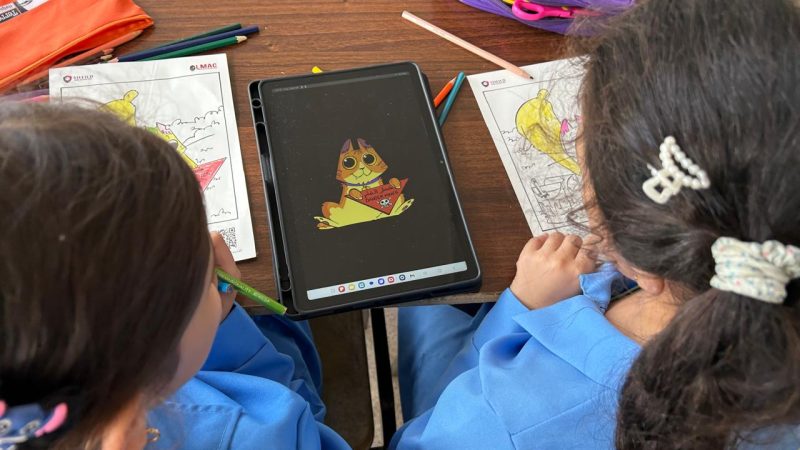
After 14 Years of Conflict, Can Barriers to Education in Syria Be Overcome?
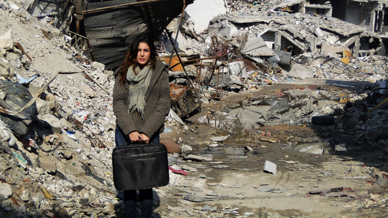
Quarterly Review of Syrian Political and Military Dynamics, July-September 2023

Related Content

Global Impact Starts with You
Your support sustains the Carter Center's mission of waging peace, fighting disease, and building hope around the world.